Metadata Record -- Spatial Section
The Spatial section of the Edit Window is used to document the spatial parameters of the main resource.
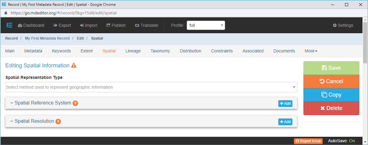
Spatial Representation Type {type: codelist (ISO MD_SpatialRepresentationTypeCode, ADIwg codes); extensible: YES; multi-value: YES; default: empty}
Usage: The geographic format of the main resource such as grid, vector, textTable, video, etc.Spatial Reference System {type: object (Spatial Reference System); default empty}
Usage: The spatial reference system of the main source.Spatial Resolution {type: object (Spatial Resolution); default empty}
Usage: Information about the scale of the geographic extent of the main resource.